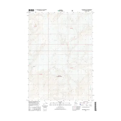
2016 Map of Anchorage A-6 SE
USGS Topo · Published 2016About this map
Chugach National Forest encompasses the entirety of this high-altitude landscape, where the movement of ice and water dominates the terrain. Three significant glacial systems are documented here: Eagle Glacier in the north, and Raven Glacier and Milk Glacier to the west. These frozen masses feed into the local hydrology, with Glacier Cr and Twentymile River carving paths through the steep relief. The most prominent peak labeled is Goat Mtn, standing as a landmark among the surveyed boundaries of T12N R2E and T12N R3E. This 2016 survey captures the precise footprint of these ice fields, providing a modern baseline for researchers studying the evolving character of the Alaskan wilderness and the Chugach Range's permanent ice features.
Find a feature on this map
11 named features on this map. Tap any name to fly to it.
Don’t see what you’re looking for? This feature index may not catch every label — zoom into the map to look around manually.
Map Details
Editions of this 2016 Anchorage A-6 SE Map
This is the sole edition of this map. No revisions or reprints were ever made.
Other maps of this area

1951 · Seward
USGS Topo · 1:250,000

1951 · Anchorage
USGS Topo · 1:250,000

1951 · Seward D-5
USGS Topo · 1:63,360

1951 · Seward D-6
USGS Topo · 1:63,360

1952 · Seward D-5
USGS Topo · 1:63,360

1952 · Seward D-6
USGS Topo · 1:63,360

1953 · Seward
USGS Topo · 1:250,000

1959 · Seward
USGS Topo · 1:250,000

1960 · Anchorage A-6
USGS Topo · 1:63,360

1960 · Anchorage A-5
USGS Topo · 1:63,360