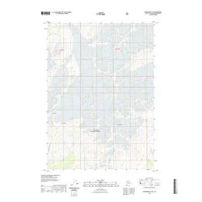
2021 Map of Anchorage A-6 SE
USGS Topo · Published 2021About this map
Chugach National Forest encompasses this high-altitude landscape of the Kenai Peninsula, where active ice fields and dramatic elevation changes dominate the topography. The region is defined by massive ice bodies, including Eagle Glacier, Raven Glacier, and Milk Glacier, which serve as the primary sources for the area's drainage networks. These glacial systems feed into south-flowing watercourses like Glacier Cr and the Twentymile River, illustrating the continuous process of glacial melt and river formation.
Find a feature on this map
12 named features on this map. Tap any name to fly to it.
Don’t see what you’re looking for? This feature index may not catch every label — zoom into the map to look around manually.
Map Details
Editions of this 2021 Anchorage A-6 SE Map
This is the sole edition of this map. No revisions or reprints were ever made.
Other maps of this area

1951 · Seward
USGS Topo · 1:250,000

1951 · Anchorage
USGS Topo · 1:250,000

1951 · Seward D-5
USGS Topo · 1:63,360

1951 · Seward D-6
USGS Topo · 1:63,360

1952 · Seward D-5
USGS Topo · 1:63,360

1952 · Seward D-6
USGS Topo · 1:63,360

1953 · Seward
USGS Topo · 1:250,000

1959 · Seward
USGS Topo · 1:250,000

1960 · Anchorage A-6
USGS Topo · 1:63,360

1960 · Anchorage A-5
USGS Topo · 1:63,360