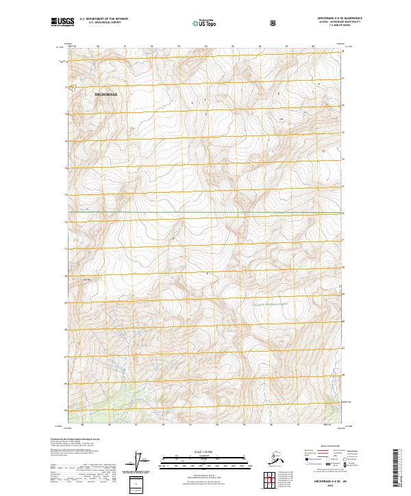
2023 Map of Anchorage A-6 SE
USGS Topo · Published 2023About this map
Eagle Glacier and the adjacent Milk Glacier dominate this high-elevation Alaskan landscape, illustrating the intricate glacial geography within the Chugach National Forest. The map documents a rugged drainage system where Glacier Creek flows southward toward the coast, while the Twentymile River carves through the southeastern corner of the municipality. The terrain is defined by extreme relief, centered on the prominent peak of Goat Mtn. Evidence of human passage in this wilderness is limited to the Eagle Glacier Crow Pass Tr, a traditional route crossing the high passes between glaciers. This 2023 survey serves as a modern record of ice margins and topographical features within the Anchorage municipality during a period of significant glacial monitoring and environmental observation.
Find a feature on this map
13 named features on this map. Tap any name to fly to it.
Don’t see what you’re looking for? This feature index may not catch every label — zoom into the map to look around manually.
Map Details
Editions of this 2023 Anchorage A-6 SE Map
This is the sole edition of this map. No revisions or reprints were ever made.
Other maps of this area

1951 · Seward
USGS Topo · 1:250,000

1951 · Anchorage
USGS Topo · 1:250,000

1951 · Seward D-5
USGS Topo · 1:63,360

1951 · Seward D-6
USGS Topo · 1:63,360

1952 · Seward D-5
USGS Topo · 1:63,360

1952 · Seward D-6
USGS Topo · 1:63,360

1953 · Seward
USGS Topo · 1:250,000

1959 · Seward
USGS Topo · 1:250,000

1960 · Anchorage A-6
USGS Topo · 1:63,360

1960 · Anchorage A-5
USGS Topo · 1:63,360