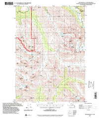
1994 Map of Anchorage A-7
USGS Topo · Published 2002About this map
The Fort Richardson Military Reservation boundary divides this high-alpine landscape, where the northwestern peaks transition into the expansive Chugach State Park. This mid-1990s record of the Anchorage backcountry showcases a network of non-motorized and historic corridors, most notably a section of the Iditarod National Historic Trail (Pack) following the Eagle River near Echo Bend.
Find a feature on this map
73 named features on this map. Tap any name to fly to it.
Don’t see what you’re looking for? This feature index may not catch every label — zoom into the map to look around manually.
Map Details
Editions of this 1994 Anchorage A-7 Map
This is the sole edition of this map. No revisions or reprints were ever made.
Other maps of this area

1951 · Seward
USGS Topo · 1:250,000

1951 · Anchorage
USGS Topo · 1:250,000

1951 · Seward D-8
USGS Topo · 1:63,360

1951 · Seward D-7
USGS Topo · 1:63,360

1951 · Seward D-6
USGS Topo · 1:63,360

1952 · Seward D-8
USGS Topo · 1:63,360

1952 · Seward D-6
USGS Topo · 1:63,360

1952 · Seward D-7
USGS Topo · 1:63,360

1952 · Anchorage A-8
USGS Topo · 1:63,360

1952 · Anchorage B-8
USGS Topo · 1:63,360