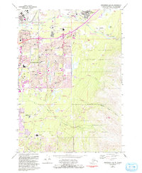
1979 Map of Anchorage A-8 NE
USGS Topo · Published 1993About this map
Elmendorf Air Force Base and the Fort Richardson Military Reservation dominate the northern landscape of this Alaska map, reflecting the heavy military footprint that shaped the city's mid-century expansion. The urban transition of Anchorage is documented through its dense network of schools and hospitals, including Providence Hospital and the University of Alaska Anchorage. Residential neighborhoods such as Mountain View and Whitney are shown alongside major transport arteries like the Alaska Railroad and the Glenn Highway. To the east and south, the terrain rises into the foothills of the Chugach Mountains, where the suburban edge meets the wilder reaches of Far North Bicentennial Park and Chugach State Park. The map illustrates the city's complex hydrology, from the industrial banks of Ship Creek to the braided forks of Chester Creek and Campbell Creek.
Find a feature on this map
51 named features on this map. Tap any name to fly to it.
Don’t see what you’re looking for? This feature index may not catch every label — zoom into the map to look around manually.
Map Details
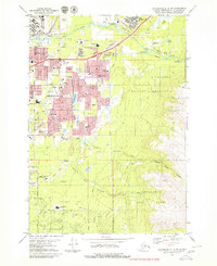
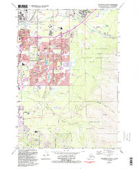
Editions of this 1979 Anchorage A-8 NE Map
3 editions found
Other maps of this area

1951 · Anchorage
USGS Topo · 1:250,000

1952 · Anchorage A-8
USGS Topo · 1:63,360

1952 · Anchorage B-8
USGS Topo · 1:63,360

1953 · Anchorage A-8
USGS Topo · 1:63,360

1953 · Anchorage B-8
USGS Topo · 1:63,360

1960 · Anchorage B-7
USGS Topo · 1:63,360

1960 · Anchorage A-7
USGS Topo · 1:63,360

1962 · Anchorage
USGS Topo · 1:250,000

1965 · Anchorage B-8
USGS Topo · 1:63,360

1979 · Anchorage B-7 SW
USGS Topo · 1:25,000