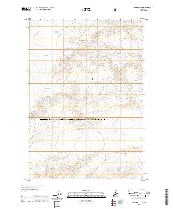
2023 Map of Anchorage B-1 SE
USGS Topo · Published 2023About this map
High-elevation glacial ice and granite peaks define this rugged section of the Chugach National Forest as it appeared in 2023. This modern topographic study reveals the expansive reaches of the Columbia Glacier and Yale Glacier, highlighting the slow-moving rivers of ice that have carved the Alaskan landscape over millennia. The map provides a precise account of the high-altitude terrain surrounding prominent summits such as Mt Einstein, Mt Langmuir, and Mt Defiant. Spanning the boundary of the Copper River Census Area, the sheet offers a clear view of the wilderness before the impacts of rapid climate change further alter these massive ice fields. This record is essential for researchers and mountaineers tracking the long-term retreat of coastal glaciers and the shifting boundaries of the Chugach wilderness.
Find a feature on this map
11 named features on this map. Tap any name to fly to it.
Don’t see what you’re looking for? This feature index may not catch every label — zoom into the map to look around manually.
Map Details
Editions of this 2023 Anchorage B-1 SE Map
This is the sole edition of this map. No revisions or reprints were ever made.
Other maps of this area

1951 · Anchorage
USGS Topo · 1:250,000

1952 · Valdez
USGS Topo · 1:250,000

1960 · Valdez A-8
USGS Topo · 1:63,360

1960 · Anchorage A-1
USGS Topo · 1:63,360

1960 · Anchorage B-1
USGS Topo · 1:63,360

1960 · Valdez B-8
USGS Topo · 1:63,360

1960 · Valdez
USGS Topo · 1:250,000

1962 · Anchorage
USGS Topo · 1:250,000

1979 · Anchorage
USGS Topo · 1:250,000
1995 · Valdez A-8
USGS Topo · 1:63,360