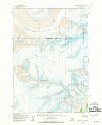
1960 Map of Anchorage B-3
USGS Topo · Published 1970About this map
Mount Marcus Baker and Mount Goode dominate this frozen landscape in the Matanuska-Susitna Borough as it was documented by photogrammetric methods in 1957 and field-checked in 1960. The area is defined by a massive complex of slow-moving ice, where the Marcus Baker Glacier and Knik Glacier flow through high-altitude passes. Numerous secondary ice fields including the Radcliffe Glacier, Baltimore Glacier, and Smith Glacier contribute to the glacial system.
Find a feature on this map
12 named features on this map. Tap any name to fly to it.
Don’t see what you’re looking for? This feature index may not catch every label — zoom into the map to look around manually.
Map Details
Editions of this 1960 Anchorage B-3 Map
3 editions found
Other maps of this area

1951 · Anchorage
USGS Topo · 1:250,000

1960 · Anchorage A-2
USGS Topo · 1:63,360

1960 · Anchorage C-2
USGS Topo · 1:63,360

1960 · Anchorage A-4
USGS Topo · 1:63,360

1960 · Anchorage A-3
USGS Topo · 1:63,360

1960 · Anchorage B-4
USGS Topo · 1:63,360

1960 · Anchorage C-3
USGS Topo · 1:63,360

1960 · Anchorage B-3
USGS Topo · 1:63,360

1960 · Anchorage B-2
USGS Topo · 1:63,360

1960 · Anchorage C-4
USGS Topo · 1:63,360