
1960 Map of Anchorage B-4
USGS Topo · Published 1965About this map
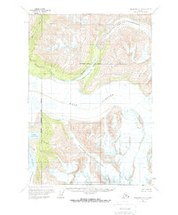
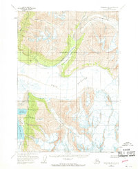
The Knik River valley and its surrounding ice fields define this mid-century Alaskan landscape, captured during a period of active aerial photogrammetry. The map documents a dynamic glacial environment where the Marcus Baker Glacier, Knik Glacier, and Gannett Glacier converge toward the river basin. A notable human element in this wilderness is the Landing Strip located in Grasshopper Valley, suggesting the era's reliance on bush aviation for access to remote mountain interior points.
Find a feature on this map
15 named features on this map. Tap any name to fly to it.
Don’t see what you’re looking for? This feature index may not catch every label — zoom into the map to look around manually.
Map Details
Editions of this 1960 Anchorage B-4 Map
3 editions found
Other maps of this area

1951 · Anchorage
USGS Topo · 1:250,000

1951 · Anchorage C-5
USGS Topo · 1:63,360

1952 · Anchorage C-5
USGS Topo · 1:63,360

1960 · Anchorage A-5
USGS Topo · 1:63,360

1960 · Anchorage A-4
USGS Topo · 1:63,360

1960 · Anchorage A-3
USGS Topo · 1:63,360

1960 · Anchorage C-5
USGS Topo · 1:63,360

1960 · Anchorage B-5
USGS Topo · 1:63,360

1960 · Anchorage C-3
USGS Topo · 1:63,360

1960 · Anchorage B-3
USGS Topo · 1:63,360