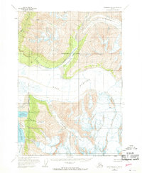
1960 Map of Anchorage B-4
USGS Topo · Published 1969About this map
Marcus Baker Glacier and Knik Glacier dominate this rugged Chugach Mountains landscape, captured just before the reorganization of Alaska's local government boundaries. The map documents the vast ice fields and meltwater systems that feed into the Knik River, including the Gannett Glacier and Colony Glacier. At the edge of the ice, Lower Lake George and Inner Lake George sit below Low Ridge, illustrating the dynamic glaciated terrain of the region.
Find a feature on this map
15 named features on this map. Tap any name to fly to it.
Don’t see what you’re looking for? This feature index may not catch every label — zoom into the map to look around manually.
Map Details
Editions of this 1960 Anchorage B-4 Map
3 editions found
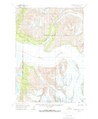
Other maps of this area

1951 · Anchorage
USGS Topo · 1:250,000

1951 · Anchorage C-5
USGS Topo · 1:63,360

1952 · Anchorage C-5
USGS Topo · 1:63,360

1960 · Anchorage A-5
USGS Topo · 1:63,360

1960 · Anchorage A-4
USGS Topo · 1:63,360

1960 · Anchorage A-3
USGS Topo · 1:63,360

1960 · Anchorage C-5
USGS Topo · 1:63,360

1960 · Anchorage B-5
USGS Topo · 1:63,360

1960 · Anchorage B-4
USGS Topo · 1:63,360

1960 · Anchorage C-3
USGS Topo · 1:63,360