
1960 Map of Anchorage B-3
USGS Topo · Published 1965About this map
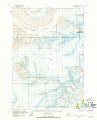
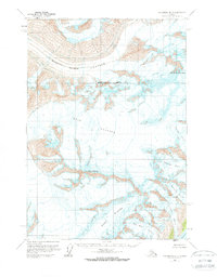
Mount Marcus Baker dominates the northeastern corner of this Chugach Mountains landscape, serving as the high point for a massive complex of glacial systems. In the early 1960s, these ice fields remained largely unsurveyed on the ground, with topography instead derived from aerial photography. The Marcus Baker Glacier and the expansive Knik Glacier flow through the central portion of the quadrangle, illustrating the immense scale of the ice-choked valleys. To the south, the terrain descends toward the Harvard Arm, where the Barry Glacier meets tidewater alongside smaller ice flows like Bryn Mawr Glacier and Smith Glacier. The absence of roads or trails emphasizes the isolation of these peaks, including Mount Goode, during this period of Alaskan wilderness mapping.
Find a feature on this map
10 named features on this map. Tap any name to fly to it.
Don’t see what you’re looking for? This feature index may not catch every label — zoom into the map to look around manually.
Map Details
Editions of this 1960 Anchorage B-3 Map
3 editions found
Other maps of this area

1951 · Anchorage
USGS Topo · 1:250,000

1960 · Anchorage A-2
USGS Topo · 1:63,360

1960 · Anchorage C-2
USGS Topo · 1:63,360

1960 · Anchorage A-4
USGS Topo · 1:63,360

1960 · Anchorage A-3
USGS Topo · 1:63,360

1960 · Anchorage B-4
USGS Topo · 1:63,360

1960 · Anchorage C-3
USGS Topo · 1:63,360

1960 · Anchorage B-2
USGS Topo · 1:63,360

1960 · Anchorage C-4
USGS Topo · 1:63,360

1962 · Anchorage
USGS Topo · 1:250,000