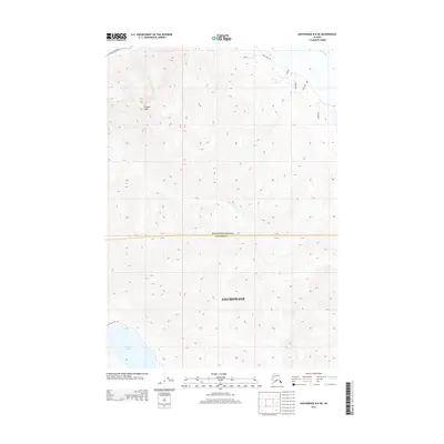
2013 Map of Anchorage B-6 NE
USGS Topo · Published 2013About this map
Pioneer Peak dominates this high-altitude landscape where the mountains of Anchorage meet the southern edge of the Matanuska-Susitna borough. The 2013 survey illustrates a transition from the glacial waters of Eklutna Lake in the south toward the braided channels of the Knik River to the north. Transportation in this vertical terrain is concentrated in the corners of the sheet, with S Old Glenn Hwy and Knik River Rd providing access to the valley floor. Steep drainages like Goat Cr carve through the high ridges, while residential clusters are visible along naming-rich local roads such as Ben Hur and Ivanhoe. This map documents the wild interface between the municipality's mountainous backcountry and the developing corridors near the river crossing.
Find a feature on this map
16 named features on this map. Tap any name to fly to it.
Don’t see what you’re looking for? This feature index may not catch every label — zoom into the map to look around manually.
Map Details
Editions of this 2013 Anchorage B-6 NE Map
This is the sole edition of this map. No revisions or reprints were ever made.
Other maps of this area

1951 · Anchorage
USGS Topo · 1:250,000

1951 · Anchorage C-6
USGS Topo · 1:63,360

1951 · Anchorage C-5
USGS Topo · 1:63,360

1952 · Anchorage C-5
USGS Topo · 1:63,360

1960 · Anchorage B-6
USGS Topo · 1:63,360

1960 · Anchorage C-5
USGS Topo · 1:63,360

1960 · Anchorage B-5
USGS Topo · 1:63,360

1962 · Anchorage
USGS Topo · 1:250,000

1979 · Anchorage B-6 NW
USGS Topo · 1:25,000
1979 · Anchorage C-6 SE
USGS Topo · 1:25,000