
1960 Map of Anchorage B-6
USGS Topo · Published 1961About this map
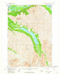
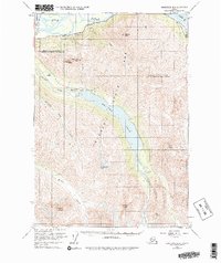
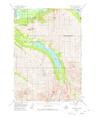
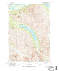
Eklutna Lake dominates this 1960 landscape, stretching through a deep mountain valley south of the Knik River. The map highlights early infrastructure in the Chugach Mountains, including the Eklutna Powerhouse and the Eklutna Lake Airstrip at the water's northwestern edge. To the north, the Glenn Highway and the Alaska Railroad parallel the river delta, marking the vital transportation corridor connecting Anchorage to the interior. High-elevation landmarks like Pioneer Peak, East Twin Peak, and West Twin Peak overlook the glacial drainage systems of Goat Creek and Thunder Bird Creek. These features reflect a mid-century era of hydroelectric development and mountain access, providing a detailed record of the physical and industrial geography before later regional expansion.
Find a feature on this map
16 named features on this map. Tap any name to fly to it.
Don’t see what you’re looking for? This feature index may not catch every label — zoom into the map to look around manually.
Map Details
Editions of this 1960 Anchorage B-6 Map
5 editions found
Other maps of this area

1950 · Anchorage C-7
USGS Topo · 1:63,360

1951 · Anchorage
USGS Topo · 1:250,000

1951 · Anchorage C-6
USGS Topo · 1:63,360

1951 · Anchorage C-7
USGS Topo · 1:63,360

1951 · Anchorage C-5
USGS Topo · 1:63,360

1952 · Anchorage C-7
USGS Topo · 1:63,360

1952 · Anchorage C-5
USGS Topo · 1:63,360

1960 · Anchorage A-6
USGS Topo · 1:63,360

1960 · Anchorage B-7
USGS Topo · 1:63,360

1960 · Anchorage A-7
USGS Topo · 1:63,360