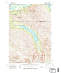
1960 Map of Anchorage B-6
USGS Topo · Published 1977About this map
Chugach State Park dominates this terrain, centered on the deep turquoise expanse of Eklutna Lake and the massive glaciers that feed it from the south. The mapping reveals a mid-century infrastructure corridor along the northern edge, where the Knik River valley facilitates the Alaska Railroad and the Glenn Highway. This transportation network supported the development of the Eklutna Powerhouse, a critical utility for the growing Anchorage region.
Find a feature on this map
24 named features on this map. Tap any name to fly to it.
Don’t see what you’re looking for? This feature index may not catch every label — zoom into the map to look around manually.
Map Details
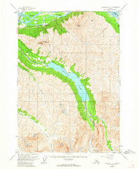
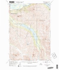
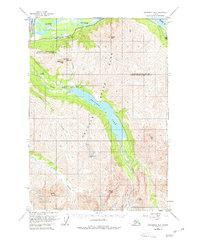
Editions of this 1960 Anchorage B-6 Map
5 editions found
Other maps of this area

1950 · Anchorage C-7
USGS Topo · 1:63,360

1951 · Anchorage
USGS Topo · 1:250,000

1951 · Anchorage C-6
USGS Topo · 1:63,360

1951 · Anchorage C-7
USGS Topo · 1:63,360

1951 · Anchorage C-5
USGS Topo · 1:63,360

1952 · Anchorage C-7
USGS Topo · 1:63,360

1952 · Anchorage C-5
USGS Topo · 1:63,360

1960 · Anchorage A-6
USGS Topo · 1:63,360

1960 · Anchorage B-7
USGS Topo · 1:63,360

1960 · Anchorage B-6
USGS Topo · 1:63,360