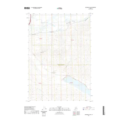
2021 Map of Anchorage B-6 NW
USGS Topo · Published 2021About this map
The Matanuska Valley serves as a massive glacial conduit where the Matanuska River and Knik River converge. This 2021 study documents the interface between the Matanuska-Susitna Borough Anchorage Municipality line and the high peaks of the Chugach Mountains. Notable elevations like Mt Powimia, Gold Star Peak, and the twin summits of West Twin Peak and East Twin Peak dominate the southern half of the sheet, overlooking the deep waters of Eklutna Lake.
Find a feature on this map
28 named features on this map. Tap any name to fly to it.
Don’t see what you’re looking for? This feature index may not catch every label — zoom into the map to look around manually.
Map Details
Editions of this 2021 Anchorage B-6 NW Map
This is the sole edition of this map. No revisions or reprints were ever made.
Other maps of this area

1950 · Anchorage C-7
USGS Topo · 1:63,360

1951 · Anchorage
USGS Topo · 1:250,000

1951 · Anchorage C-6
USGS Topo · 1:63,360

1951 · Anchorage C-7
USGS Topo · 1:63,360

1952 · Anchorage C-7
USGS Topo · 1:63,360

1960 · Anchorage B-7
USGS Topo · 1:63,360

1960 · Anchorage B-6
USGS Topo · 1:63,360

1962 · Anchorage
USGS Topo · 1:250,000

1979 · Anchorage B-6 NW
USGS Topo · 1:25,000
1979 · Anchorage B-7 SE
USGS Topo · 1:25,000