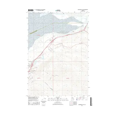
2016 Map of Anchorage B-7 NE
USGS Topo · Published 2016About this map
Eklutna serves as the focal point of this coastal Alaskan landscape, situated where the Eklutna River meets the expansive Eklutna Flats. The terrain is defined by dramatic elevation changes, rising from the Duck Flats at sea level to the high peaks of Mt Eklutna and the overlook at Bear Point. This 2016 survey documents the modern infrastructure of the region, anchored by the Glenn Highway and Eklutna Lake Road, which wind through the complex topography of the Peters Creek Valley.
Find a feature on this map
48 named features on this map. Tap any name to fly to it.
Don’t see what you’re looking for? This feature index may not catch every label — zoom into the map to look around manually.
Map Details
Editions of this 2016 Anchorage B-7 NE Map
This is the sole edition of this map. No revisions or reprints were ever made.
Other maps of this area
1950 · Anchorage C-7
USGS Topo · 1:63,360
1951 · Anchorage
USGS Topo · 1:250,000
1951 · Anchorage C-6
USGS Topo · 1:63,360
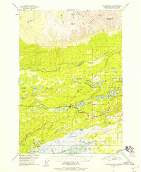
1951 · Anchorage C-7
USGS Topo · 1:63,360
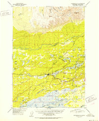
1952 · Anchorage C-7
USGS Topo · 1:63,360
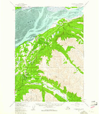
1960 · Anchorage B-7
USGS Topo · 1:63,360
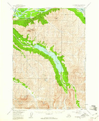
1960 · Anchorage B-6
USGS Topo · 1:63,360
1962 · Anchorage
USGS Topo · 1:250,000
1979 · Anchorage B-6 NW
USGS Topo · 1:25,000
1979 · Anchorage B-7 SW
USGS Topo · 1:25,000