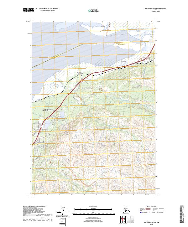
2023 Map of Anchorage B-7 NE
USGS Topo · Published 2023About this map
Eklutna serves as a focal point where the Matanuska River and Eklutna River converge near the Duck Flats. This area is historically significant as a nexus for travel and tradition, housing the Saint Nicholas Orthodox Church Cem and intersecting with the Iditarod National Historic Trl. The landscape transitions sharply from the coastal Eklutna Flats to the steep ascent of Mt Eklutna, illustrating the complex geography of the Matanuska Valley where it meets the Anchorage boundary.
Find a feature on this map
49 named features on this map. Tap any name to fly to it.
Don’t see what you’re looking for? This feature index may not catch every label — zoom into the map to look around manually.
Map Details
Editions of this 2023 Anchorage B-7 NE Map
This is the sole edition of this map. No revisions or reprints were ever made.
Other maps of this area

1950 · Anchorage C-7
USGS Topo · 1:63,360

1951 · Anchorage
USGS Topo · 1:250,000

1951 · Anchorage C-6
USGS Topo · 1:63,360

1951 · Anchorage C-7
USGS Topo · 1:63,360

1952 · Anchorage C-7
USGS Topo · 1:63,360

1960 · Anchorage B-7
USGS Topo · 1:63,360

1960 · Anchorage B-6
USGS Topo · 1:63,360

1962 · Anchorage
USGS Topo · 1:250,000

1979 · Anchorage B-6 NW
USGS Topo · 1:25,000

1979 · Anchorage B-7 SW
USGS Topo · 1:25,000