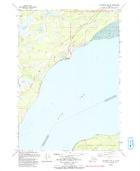
1979 Map of Anchorage B-8 NE
USGS Topo · Published 1993About this map
Knik and the northern reaches of Knik Arm anchor this 1993 revision of the Cook Inlet shoreline. The landscape is a complex network of wetlands and small lakes like Brocker Lake and White Lake, intersected by modern infrastructure and historic routes. A significant portion of the Iditarod National Historic Trail (Pack) is visible, tracing a path toward the Knik Museum and Mushers Hall of Fame, which highlights the area's deep connection to sled dog history and gold-rush era transport.
Find a feature on this map
35 named features on this map. Tap any name to fly to it.
Don’t see what you’re looking for? This feature index may not catch every label — zoom into the map to look around manually.
Map Details
Editions of this 1979 Anchorage B-8 NE Map
Other maps of this area

1950 · Anchorage C-8
USGS Topo · 1:63,360

1950 · Anchorage C-7
USGS Topo · 1:63,360

1951 · Anchorage
USGS Topo · 1:250,000

1951 · Anchorage C-7
USGS Topo · 1:63,360

1952 · Anchorage C-7
USGS Topo · 1:63,360

1952 · Anchorage C-8
USGS Topo · 1:63,360

1952 · Anchorage B-8
USGS Topo · 1:63,360

1953 · Anchorage B-8
USGS Topo · 1:63,360

1960 · Anchorage B-7
USGS Topo · 1:63,360

1962 · Anchorage
USGS Topo · 1:250,000