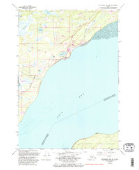
1979 Map of Anchorage B-8 NE
USGS Topo · Published 1993About this map
The Iditarod National Historic Trail cuts across this coastal landscape of the Matanuska-Susitna Borough, tracing the historic overland route northwest of Knik Arm. Near the shoreline, the settlement of Knik serves as a focal point for regional history, housing the Knik Museum and Mushers Hall of Fame alongside local landmarks like the Cem and Graves. The map documents a period of modern transit and utility development, evidenced by the Settlers Bay Airstrip, several Radio Towers, and the Point Mackenzie Rd corridor.
Find a feature on this map
35 named features on this map. Tap any name to fly to it.
Don’t see what you’re looking for? This feature index may not catch every label — zoom into the map to look around manually.
Map Details
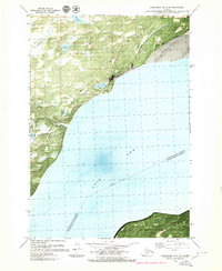
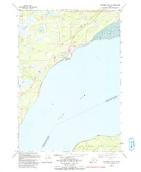
Editions of this 1979 Anchorage B-8 NE Map
Other maps of this area

1950 · Anchorage C-8
USGS Topo · 1:63,360

1950 · Anchorage C-7
USGS Topo · 1:63,360

1951 · Anchorage
USGS Topo · 1:250,000

1951 · Anchorage C-7
USGS Topo · 1:63,360

1952 · Anchorage C-7
USGS Topo · 1:63,360

1952 · Anchorage C-8
USGS Topo · 1:63,360

1952 · Anchorage B-8
USGS Topo · 1:63,360

1953 · Anchorage B-8
USGS Topo · 1:63,360

1960 · Anchorage B-7
USGS Topo · 1:63,360

1962 · Anchorage
USGS Topo · 1:250,000