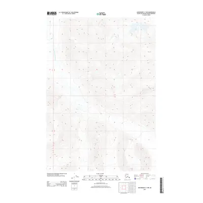
2013 Map of Anchorage C-1 NW
USGS Topo · Published 2013About this map
The South Fork Matanuska River carves through this high-elevation terrain within the Matanuska-Susitna Borough. This 2013 survey is characterized by significant relief, with contour lines illustrating steep slopes that lead down toward the primary river corridor. Small water bodies like Little Lake and the drainage of Middle Cr are the only named landmarks in an otherwise wilderness-dominated landscape. The map provides a detailed view of the Public Land Survey System grid, specifically where Township 19 North meets Township 18 North across Ranges 11 and 12 East. This data is critical for researchers and land owners tracking property boundaries and geographical changes in this portion of Alaska shortly after the turn of the 21st century.
Find a feature on this map
5 named features on this map. Tap any name to fly to it.
Don’t see what you’re looking for? This feature index may not catch every label — zoom into the map to look around manually.
Map Details
Editions of this 2013 Anchorage C-1 NW Map
This is the sole edition of this map. No revisions or reprints were ever made.
Other maps of this area

1948 · Anchorage D-2
USGS Topo · 1:63,360

1948 · Anchorage D-1
USGS Topo · 1:63,360

1951 · Anchorage
USGS Topo · 1:250,000

1951 · Anchorage D-1
USGS Topo · 1:63,360

1952 · Anchorage D-2
USGS Topo · 1:63,360

1960 · Anchorage C-2
USGS Topo · 1:63,360

1960 · Anchorage C-1
USGS Topo · 1:63,360

1962 · Anchorage
USGS Topo · 1:250,000
1976 · Anchorage D-2
USGS Topo · 1:63,360

1979 · Anchorage
USGS Topo · 1:250,000