
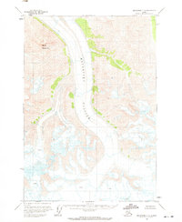
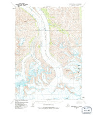
1960 Map of Anchorage C-2
USGS Topo · Published 1964About this map
Matanuska Glacier dominates the central corridor of this 1960 survey, providing a detailed look at the ice flow and topographic contours of the Chugach Mountains. The map illustrates the massive ice body as it moves through the valley, flanked by the high elevation of Mount Wickersham to the northwest. This edition is particularly valuable for glaciologists and environmental historians, as it records the extent of the ice and the location of dangerous crevasses before later 20th-century shifts. The U.S. Geological Survey utilized photogrammetric methods from aerial photographs taken in 1950 and 1957 to map this remote terrain, resulting in a precise representation of the alpine environment as it existed in the mid-century era.
Find a feature on this map
3 named features on this map. Tap any name to fly to it.
Don’t see what you’re looking for? This feature index may not catch every label — zoom into the map to look around manually.
Map Details
Editions of this 1960 Anchorage C-2 Map
3 editions found
Other maps of this area

1948 · Anchorage D-3
USGS Topo · 1:63,360

1948 · Anchorage D-2
USGS Topo · 1:63,360

1948 · Anchorage D-1
USGS Topo · 1:63,360

1951 · Anchorage
USGS Topo · 1:250,000

1951 · Anchorage D-1
USGS Topo · 1:63,360

1952 · Anchorage D-2
USGS Topo · 1:63,360

1952 · Anchorage D-3
USGS Topo · 1:63,360

1960 · Anchorage B-1
USGS Topo · 1:63,360

1960 · Anchorage C-3
USGS Topo · 1:63,360

1960 · Anchorage B-3
USGS Topo · 1:63,360