
1960 Map of Anchorage C-4
USGS Topo · Published 1965About this map
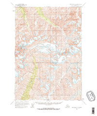
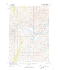
Metal Creek Glacier dominates the central landscape of this 1960 survey, serving as the massive frozen headwater for a network of drainages in this part of the Chugach Mountains. The map reveals a wild, unpopulated territory defined by high-elevation ice fields and the deep-cut valleys of Metal Creek and its tributaries. While no settlements or roads appear, the specific naming of waterways such as Coal Creek, Carbon Creek, and Friday Creek suggests the presence of prospectors and early resource exploration in these drainages. The complex topography shown between Cottonwood Creek and Ninety Creek provides a precise view of the glacial extent and drainage patterns as they existed in the mid-20th century, before subsequent decades of environmental change.
Find a feature on this map
8 named features on this map. Tap any name to fly to it.
Don’t see what you’re looking for? This feature index may not catch every label — zoom into the map to look around manually.
Map Details
Editions of this 1960 Anchorage C-4 Map
3 editions found
Other maps of this area

1948 · Anchorage D-3
USGS Topo · 1:63,360

1948 · Anchorage D-4
USGS Topo · 1:63,360

1949 · Anchorage D-5
USGS Topo · 1:63,360

1951 · Anchorage
USGS Topo · 1:250,000

1951 · Anchorage C-5
USGS Topo · 1:63,360

1952 · Anchorage D-5
USGS Topo · 1:63,360

1952 · Anchorage D-4
USGS Topo · 1:63,360

1952 · Anchorage D-3
USGS Topo · 1:63,360

1952 · Anchorage C-5
USGS Topo · 1:63,360

1960 · Anchorage C-5
USGS Topo · 1:63,360