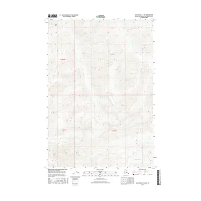
2016 Map of Anchorage C-4 NW
USGS Topo · Published 2016About this map
Metal Creek Glacier dominates the southern reaches of this landscape in the Matanuska-Susitna Borough, its massive frozen form carving the high valley where Metal Cr originates. The terrain is defined by extreme verticality, anchored in the northwest by the prominent summit of Kings Mtn. This 2016 survey illustrates a pristine glacial drainage system, where high-altitude meltwater feeds a network of steep watercourses including Carbon Cr, Coal Cr, and Riley Cr. The map captures the raw topography of the Chugach Mountains, showing the intricate relationship between moving ice and the deeply incised creek beds that define the local hydrology. With no roads or permanent settlements indicated, the map serves as a primary record of this undeveloped wilderness and its shifting glacial boundaries.
Find a feature on this map
10 named features on this map. Tap any name to fly to it.
Don’t see what you’re looking for? This feature index may not catch every label — zoom into the map to look around manually.
Map Details
Editions of this 2016 Anchorage C-4 NW Map
This is the sole edition of this map. No revisions or reprints were ever made.
Other maps of this area

1948 · Anchorage D-4
USGS Topo · 1:63,360

1949 · Anchorage D-5
USGS Topo · 1:63,360

1951 · Anchorage
USGS Topo · 1:250,000

1951 · Anchorage C-5
USGS Topo · 1:63,360

1952 · Anchorage D-5
USGS Topo · 1:63,360

1952 · Anchorage D-4
USGS Topo · 1:63,360

1952 · Anchorage C-5
USGS Topo · 1:63,360

1960 · Anchorage C-5
USGS Topo · 1:63,360

1960 · Anchorage C-4
USGS Topo · 1:63,360

1962 · Anchorage
USGS Topo · 1:250,000