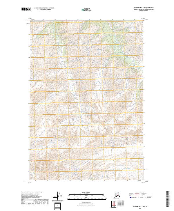
2023 Map of Anchorage C-4 NW
USGS Topo · Published 2023About this map
Kings Mtn anchors the northwestern corner of this 2023 survey in the Matanuska-Susitna Borough, where the terrain is defined by steep elevation changes and glacially carved valleys. The drainage system is dominated by north-south flowing water bodies, including Carbon Creek and Coal Creek, which underscore the geological character of the region. The map captures the significant presence of the Metal Creek Glacier in the southeast, feeding into the upper reaches of Metal Creek. The lack of road infrastructure or human settlements within these townships emphasizes the high-altitude wilderness of this portion of the Chugach Mountains, where topography and ice dictate the landscape's form. This data provides a precise record of the current extent of the ice fields and the intricate network of alpine streams defining this remote section of the Alaskan interior.
Find a feature on this map
9 named features on this map. Tap any name to fly to it.
Don’t see what you’re looking for? This feature index may not catch every label — zoom into the map to look around manually.
Map Details
Editions of this 2023 Anchorage C-4 NW Map
This is the sole edition of this map. No revisions or reprints were ever made.
Other maps of this area

1948 · Anchorage D-4
USGS Topo · 1:63,360

1949 · Anchorage D-5
USGS Topo · 1:63,360

1951 · Anchorage
USGS Topo · 1:250,000

1951 · Anchorage C-5
USGS Topo · 1:63,360

1952 · Anchorage D-5
USGS Topo · 1:63,360

1952 · Anchorage D-4
USGS Topo · 1:63,360

1952 · Anchorage C-5
USGS Topo · 1:63,360

1960 · Anchorage C-5
USGS Topo · 1:63,360

1960 · Anchorage C-4
USGS Topo · 1:63,360

1962 · Anchorage
USGS Topo · 1:250,000