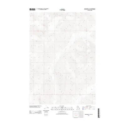
2013 Map of Anchorage C-4 SE
USGS Topo · Published 2013About this map
Glacial valleys and sharp ridgelines define the high-elevation landscape of the Matanuska-Susitna Borough as it appeared in the early 21st century. This survey area is dominated by raw topography, where steep contour lines reveal a complex network of unnamed peaks and drainage basins. The map provides precise administrative and legal land data through the Public Land Survey System, marking the intersection of T 18 N T 17 N and R 6 E R 7 E. These boundaries, along with T 17 N T 16 N, help researchers and land surveyors orient themselves within this remote section of the Alaskan interior where formal settlements and road networks are entirely absent.
Find a feature on this map
3 named features on this map. Tap any name to fly to it.
Don’t see what you’re looking for? This feature index may not catch every label — zoom into the map to look around manually.
Map Details
Editions of this 2013 Anchorage C-4 SE Map
This is the sole edition of this map. No revisions or reprints were ever made.
Other maps of this area

1951 · Anchorage
USGS Topo · 1:250,000

1960 · Anchorage B-4
USGS Topo · 1:63,360

1960 · Anchorage C-3
USGS Topo · 1:63,360

1960 · Anchorage B-3
USGS Topo · 1:63,360

1960 · Anchorage C-4
USGS Topo · 1:63,360

1962 · Anchorage
USGS Topo · 1:250,000

1979 · Anchorage
USGS Topo · 1:250,000

1993 · Anchorage C-3
USGS Topo · 1:63,360

1994 · Anchorage B-4
USGS Topo · 1:63,360
1994 · Anchorage C-4
USGS Topo · 1:63,360