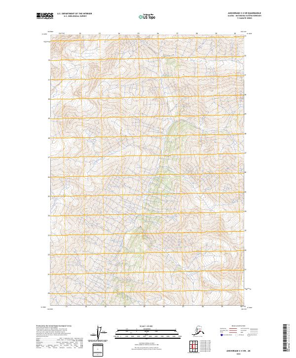
2023 Map of Anchorage C-4 SW
USGS Topo · Published 2023About this map
Metal Creek and Friday Creek dominate the drainage patterns of this Alaskan landscape within the Matanuska-Susitna Borough. This high-altitude topographic study, produced by the U.S. Geological Survey, details a terrain defined by significant elevation changes and glacial-fed waterways. The mapping includes the headwaters and descent of Cottonwood Creek, providing a clear view of the hydrological connections between these tributaries. The alignment of these creeks relative to the township and range boundaries, such as t18n r6e and t17n r5e, illustrates the intersection of natural geography with the Public Land Survey System in this part of the state. It remains a primary reference for understanding the physical layout of the region as it existed in the early twenty-first century.
Find a feature on this map
9 named features on this map. Tap any name to fly to it.
Don’t see what you’re looking for? This feature index may not catch every label — zoom into the map to look around manually.
Map Details
Editions of this 2023 Anchorage C-4 SW Map
This is the sole edition of this map. No revisions or reprints were ever made.
Other maps of this area

1951 · Anchorage
USGS Topo · 1:250,000

1951 · Anchorage C-5
USGS Topo · 1:63,360

1952 · Anchorage C-5
USGS Topo · 1:63,360

1960 · Anchorage C-5
USGS Topo · 1:63,360

1960 · Anchorage B-5
USGS Topo · 1:63,360

1960 · Anchorage B-4
USGS Topo · 1:63,360

1960 · Anchorage C-4
USGS Topo · 1:63,360

1962 · Anchorage
USGS Topo · 1:250,000

1979 · Anchorage
USGS Topo · 1:250,000

1994 · Anchorage B-4
USGS Topo · 1:63,360