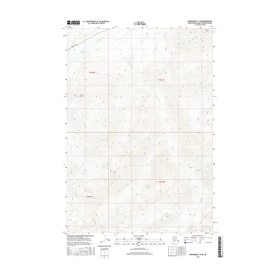
2016 Map of Anchorage C-5 NE
USGS Topo · Published 2016About this map
The Matanuska River flows across the northern edge of this Matanuska-Susitna Borough landscape, shadowed by the vital transport corridor of the Glenn Highway. This area is defined by massive relief and glacial drainage patterns, where elevations rise steeply from the river valley toward prominent peaks like Kings Mtn in the northeast and Pinnacle Mtn to the west. The drainage network is carved by several distinct waterways, including Carpenter Cr and Linguist Cr, which descend through deep valleys between the mountains. Native geographic identifiers like Bel’uyedi Tayena appear alongside these peaks, reflecting the complex cultural and natural history of the Alaska Range foothills. The map provides a precise look at the 2016 topography, marking the transition from the river basin into the high mountain wilderness.
Find a feature on this map
11 named features on this map. Tap any name to fly to it.
Don’t see what you’re looking for? This feature index may not catch every label — zoom into the map to look around manually.
Map Details
Editions of this 2016 Anchorage C-5 NE Map
This is the sole edition of this map. No revisions or reprints were ever made.
Other maps of this area

1948 · Anchorage D-4
USGS Topo · 1:63,360

1949 · Anchorage D-5
USGS Topo · 1:63,360

1951 · Anchorage
USGS Topo · 1:250,000

1951 · Anchorage C-5
USGS Topo · 1:63,360

1952 · Anchorage D-5
USGS Topo · 1:63,360

1952 · Anchorage D-4
USGS Topo · 1:63,360

1952 · Anchorage C-5
USGS Topo · 1:63,360

1960 · Anchorage C-5
USGS Topo · 1:63,360

1960 · Anchorage C-4
USGS Topo · 1:63,360

1962 · Anchorage
USGS Topo · 1:250,000