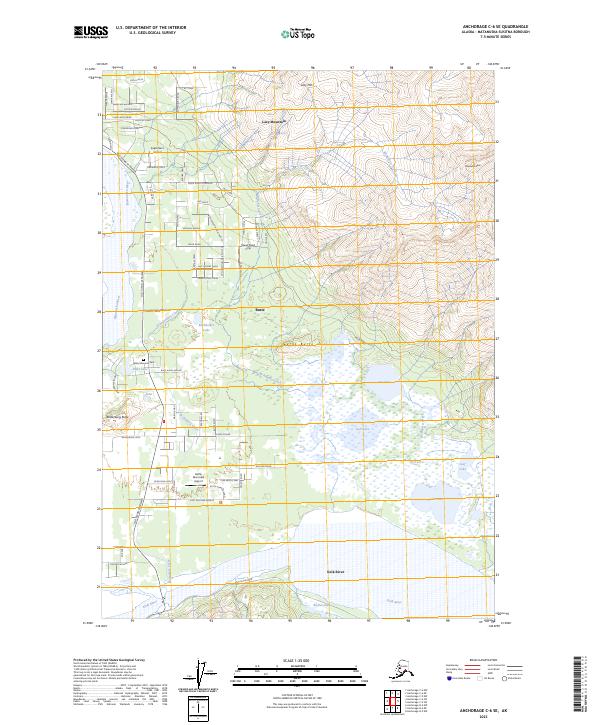
2023 Map of Anchorage C-6 SE
USGS Topo · Published 2023About this map
The Matanuska River and Knik River define this corner of the Matanuska-Susitna Valley, where the alluvial plain meets the rising slopes of Lazy Mountain and Matanuska Peak. The community of Butte occupies the central lowlands, characterized by a complex network of wetlands and small lakes including Jim Lake, Gull Lake, and Burkholder Lake. The landscape is punctuated by distinct topographic rises like Bodenburg Butte and Burnt Butte, which stand out against the surrounding glacial flats.
Find a feature on this map
77 named features on this map. Tap any name to fly to it.
Don’t see what you’re looking for? This feature index may not catch every label — zoom into the map to look around manually.
Map Details
Editions of this 2023 Anchorage C-6 SE Map
This is the sole edition of this map. No revisions or reprints were ever made.
Other maps of this area

1951 · Anchorage
USGS Topo · 1:250,000

1951 · Anchorage C-6
USGS Topo · 1:63,360

1951 · Anchorage C-5
USGS Topo · 1:63,360

1952 · Anchorage C-5
USGS Topo · 1:63,360

1960 · Anchorage B-6
USGS Topo · 1:63,360

1960 · Anchorage C-5
USGS Topo · 1:63,360

1960 · Anchorage B-5
USGS Topo · 1:63,360

1962 · Anchorage
USGS Topo · 1:250,000

1979 · Anchorage B-6 NW
USGS Topo · 1:25,000
1979 · Anchorage C-6 SE
USGS Topo · 1:25,000