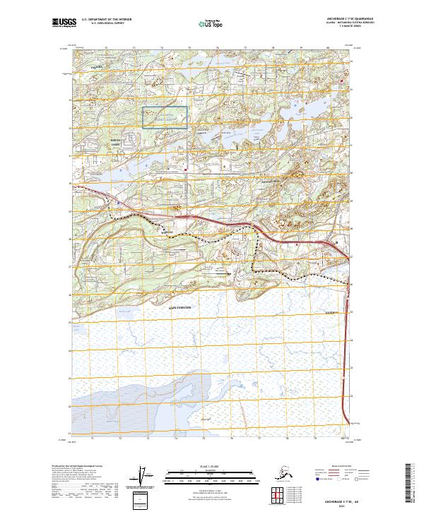
2023 Map of Anchorage C-7 SE
USGS Topo · Published 2023About this map
The Matanuska Valley serves as a hub of transport and settlement in this portion of Southcentral Alaska, where the Alaska Railroad and the Parks Highway converge. Central to the landscape is the city of Wasilla, flanked by Wasilla Lake and Cottonwood Lake. The map reveals a high concentration of private aviation infrastructure, including the Fairview Landing Airport, Colberg Airport, and Stro's Airport, reflecting the region's reliance on air travel for connectivity. Local history is anchored by the Wasilla Cem and Wasilla Church, while the NG Alcantra Armory Complex marks a significant military presence. Moving south, the terrain shifts into the expansive Duck Flats near Palmer Slough, where Wasilla Creek meets the marshy coastal reaches. This contemporary study captures the dense residential expansion of North Lakes, South Lakes, and Knik-Fairview during a period of sustained growth.
Find a feature on this map
127 named features on this map. Tap any name to fly to it.
Don’t see what you’re looking for? This feature index may not catch every label — zoom into the map to look around manually.
Map Details
Editions of this 2023 Anchorage C-7 SE Map
This is the sole edition of this map. No revisions or reprints were ever made.
Other maps of this area

1950 · Anchorage C-7
USGS Topo · 1:63,360

1951 · Anchorage
USGS Topo · 1:250,000

1951 · Anchorage C-6
USGS Topo · 1:63,360

1951 · Anchorage C-7
USGS Topo · 1:63,360

1952 · Anchorage C-7
USGS Topo · 1:63,360

1960 · Anchorage B-7
USGS Topo · 1:63,360

1960 · Anchorage B-6
USGS Topo · 1:63,360

1962 · Anchorage
USGS Topo · 1:250,000

1979 · Anchorage B-6 NW
USGS Topo · 1:25,000
1979 · Anchorage C-7 NW
USGS Topo · 1:25,000