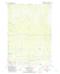
1979 Map of Anchorage C-8 NE
USGS Topo · Published 1983About this map
Houston serves as the focal point of this late 20th-century survey, positioned along the banks of the Little Susitna River. The landscape is defined by the Houston Corporate Boundary and the expansive Tract A, revealing a mix of nascent suburban development and traditional Alaskan wilderness transit. The settlement area includes community infrastructure such as the City Hall and practical assets like a Gravel Pit and Boat Ramp.
Find a feature on this map
19 named features on this map. Tap any name to fly to it.
Don’t see what you’re looking for? This feature index may not catch every label — zoom into the map to look around manually.
Map Details
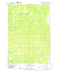
Editions of this 1979 Anchorage C-8 NE Map
2 editions found
Other maps of this area

1949 · Anchorage D-7
USGS Topo · 1:63,360

1949 · Anchorage D-8
USGS Topo · 1:63,360

1950 · Anchorage C-8
USGS Topo · 1:63,360

1950 · Anchorage C-7
USGS Topo · 1:63,360

1951 · Anchorage
USGS Topo · 1:250,000

1951 · Anchorage C-7
USGS Topo · 1:63,360

1951 · Anchorage D-8
USGS Topo · 1:63,360

1951 · Anchorage D-7
USGS Topo · 1:63,360

1952 · Anchorage C-7
USGS Topo · 1:63,360

1952 · Anchorage D-7
USGS Topo · 1:63,360