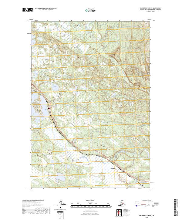
2023 Map of Anchorage C-8 NW
USGS Topo · Published 2023About this map
Willow and Houston anchor this section of the Matanuska-Susitna Valley, where the Parks Highway serves as the primary artery through a landscape defined by an intricate network of wetlands and small airfields. Small runways like the Pan Lake Strip, Satterbergs Airport, and Black Spruce Airport dot the terrain, reflecting the vital role of aviation in this part of Alaska. The hydrography is dominated by the Little Susitna River and the braided channels of Betnu Hghilgeditnu, while Nancy Lake and Frying Pan Lake provide significant water features for the surrounding communities. Local connectivity is maintained through named roads such as Zero Lake Road and Allen Road, showing the residential development pattern radiating from the highway toward the shoreline of Houston Lake and the wooded interior near Deception Creek.
Find a feature on this map
31 named features on this map. Tap any name to fly to it.
Don’t see what you’re looking for? This feature index may not catch every label — zoom into the map to look around manually.
Map Details
Editions of this 2023 Anchorage C-8 NW Map
This is the sole edition of this map. No revisions or reprints were ever made.
Other maps of this area

1949 · Tyonek
USGS Topo · 1:250,000

1949 · Anchorage D-8
USGS Topo · 1:63,360

1950 · Anchorage C-8
USGS Topo · 1:63,360

1951 · Anchorage
USGS Topo · 1:250,000

1951 · Tyonek
USGS Topo · 1:250,000

1951 · Anchorage D-8
USGS Topo · 1:63,360

1952 · Anchorage C-8
USGS Topo · 1:63,360

1952 · Tyonek D-1
USGS Topo · 1:63,360

1952 · Tyonek C-1
USGS Topo · 1:63,360

1952 · Anchorage D-8
USGS Topo · 1:63,360