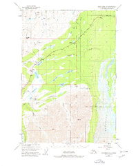
1948 Map of Anchorage D-1
USGS Topo · Published 1978About this map
Eureka Roadhouse stands as a primary outpost along the Glenn Highway in this remote Alaskan interior landscape, positioned at a critical junction of overland travel and resource exploration. The terrain is defined by the high alpine passes of Belanger Pass and Tahneta Pass, which serve as gateways between the rugged Talkeetna and Chugach mountain influences. The map illustrates a transitional wilderness where Tractor Trails snake through the drainage basins of the Matanuska River and the Nelchina River, indicating an era of early mechanized access into the backcountry.
Find a feature on this map
48 named features on this map. Tap any name to fly to it.
Don’t see what you’re looking for? This feature index may not catch every label — zoom into the map to look around manually.
Map Details
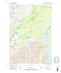
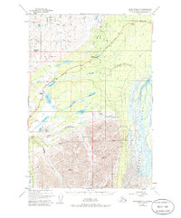
Editions of this 1948 Anchorage D-1 Map
4 editions found
Other maps of this area

1948 · Anchorage D-2
USGS Topo · 1:63,360

1948 · Anchorage D-1
USGS Topo · 1:63,360

1949 · Talkeetna Mountains A-1
USGS Topo · 1:63,360

1949 · Gulkana A-6
USGS Topo · 1:63,360

1949 · Valdez D-8
USGS Topo · 1:63,360

1950 · Talkeetna Mountains
USGS Topo · 1:250,000

1951 · Gulkana
USGS Topo · 1:250,000

1951 · Anchorage
USGS Topo · 1:250,000

1951 · Anchorage D-1
USGS Topo · 1:63,360

1952 · Valdez D-8
USGS Topo · 1:63,360