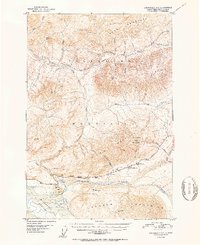
1952 Map of Anchorage D-2
USGS Topo · Published 1952About this map
Matanuska River waters flow through the heart of the Matanuska-Susitna region, flanked by the massive elevations of the Talkeetna Mountains to the north and the Chugach Mountains to the south. This early 1950s survey documents the critical transportation corridor along the Glenn Highway, which served as a primary artery for travel and logistics. Roadside landmarks such as the Meekins Roadhouse and the Sheep Mountain Inn represent the essential stopovers for travelers navigating this remote terrain.
Find a feature on this map
34 named features on this map. Tap any name to fly to it.
Don’t see what you’re looking for? This feature index may not catch every label — zoom into the map to look around manually.
Map Details
Editions of this 1952 Anchorage D-2 Map
2 editions found
Other maps of this area

1948 · Anchorage D-3
USGS Topo · 1:63,360

1948 · Anchorage D-2
USGS Topo · 1:63,360

1948 · Anchorage D-1
USGS Topo · 1:63,360

1949 · Talkeetna Mountains A-1
USGS Topo · 1:63,360

1950 · Talkeetna Mountains
USGS Topo · 1:250,000

1951 · Anchorage
USGS Topo · 1:250,000

1951 · Anchorage D-1
USGS Topo · 1:63,360

1951 · Talkeetna Mountains A-2
USGS Topo · 1:63,360

1952 · Anchorage D-2
USGS Topo · 1:63,360

1952 · Anchorage D-3
USGS Topo · 1:63,360