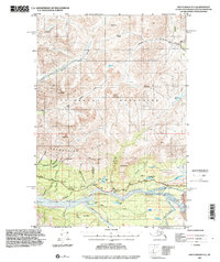
1993 Map of Anchorage D-3
USGS Topo · Published 2001About this map
The Matanuska River serves as the central artery for this portion of the Talkeetna Mountains, where the glacial landscape meets early 1990s infrastructure. The Glenn Highway traverses the valley, providing a lifeline through the terrain and connecting remote points like the Watchtower Inn and a designated Landing Strip near Packsaddle. To the south, the massive Matanuska Glacier dominates the corner of the map, feeding Gravel Creek and the river system below.
Find a feature on this map
55 named features on this map. Tap any name to fly to it.
Don’t see what you’re looking for? This feature index may not catch every label — zoom into the map to look around manually.
Map Details
Editions of this 1993 Anchorage D-3 Map
This is the sole edition of this map. No revisions or reprints were ever made.
Other maps of this area

1948 · Anchorage D-3
USGS Topo · 1:63,360

1948 · Anchorage D-2
USGS Topo · 1:63,360

1948 · Anchorage D-4
USGS Topo · 1:63,360

1950 · Talkeetna Mountains
USGS Topo · 1:250,000

1951 · Anchorage
USGS Topo · 1:250,000

1951 · Talkeetna Mountains A-2
USGS Topo · 1:63,360

1951 · Talkeetna Mountains A-3
USGS Topo · 1:63,360

1952 · Anchorage D-2
USGS Topo · 1:63,360

1952 · Anchorage D-4
USGS Topo · 1:63,360

1952 · Anchorage D-3
USGS Topo · 1:63,360