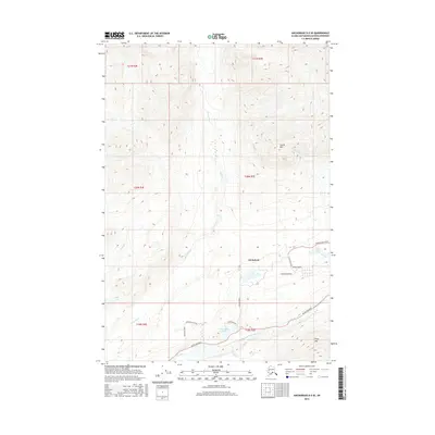
2016 Map of Anchorage D-5 SE
USGS Topo · Published 2016About this map
The settlement of Chickaloon sits at the base of dramatic elevations, where the Matanuska River valley meets the southern slopes of Castle Mtn. This landscape is defined by the heavy drainage patterns of Kings River, California Cr, and Young Cr, which flow through the high country into the main river corridor. The transportation network is concentrated along the river, where the Glenn Highway provides the primary route through the region, supported by local connectors like Chickaloon Road and Fish Lake Road.
Find a feature on this map
28 named features on this map. Tap any name to fly to it.
Don’t see what you’re looking for? This feature index may not catch every label — zoom into the map to look around manually.
Map Details
Editions of this 2016 Anchorage D-5 SE Map
This is the sole edition of this map. No revisions or reprints were ever made.
Other maps of this area

1948 · Anchorage D-4
USGS Topo · 1:63,360

1949 · Anchorage D-5
USGS Topo · 1:63,360

1951 · Anchorage
USGS Topo · 1:250,000

1951 · Anchorage C-5
USGS Topo · 1:63,360

1952 · Anchorage D-5
USGS Topo · 1:63,360

1952 · Anchorage D-4
USGS Topo · 1:63,360

1952 · Anchorage C-5
USGS Topo · 1:63,360

1960 · Anchorage C-5
USGS Topo · 1:63,360

1960 · Anchorage C-4
USGS Topo · 1:63,360

1962 · Anchorage
USGS Topo · 1:250,000