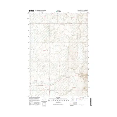
2016 Map of Anchorage D-8 SW
USGS Topo · Published 2016About this map
Willow Creek and its many tributaries, including Little Willow Creek and Deception Creek, carve through this section of the Matanuska-Susitna Borough. The landscape is defined by its transition from low-lying watercourses to the rising elevations of the interior, mapped here in the early 21st century. The local infrastructure reveals a burgeoning network of rural residential roads and connector routes. Major thoroughfares such as Willow Fishhook Road and Willer-Kash Road provide access across the terrain, while smaller residential clusters appear along Kenny Boulevard, Kelley Circle, and Gina Circle. This layout indicates a period of modern settlement expansion where long-established names like Jim Carter Road and Tank Road meet newer developments like Bishop's Gate.
Find a feature on this map
25 named features on this map. Tap any name to fly to it.
Don’t see what you’re looking for? This feature index may not catch every label — zoom into the map to look around manually.
Map Details
Editions of this 2016 Anchorage D-8 SW Map
This is the sole edition of this map. No revisions or reprints were ever made.
Other maps of this area

1949 · Tyonek
USGS Topo · 1:250,000

1949 · Anchorage D-8
USGS Topo · 1:63,360

1950 · Anchorage C-8
USGS Topo · 1:63,360

1951 · Anchorage
USGS Topo · 1:250,000

1951 · Tyonek
USGS Topo · 1:250,000

1951 · Anchorage D-8
USGS Topo · 1:63,360

1952 · Anchorage C-8
USGS Topo · 1:63,360

1952 · Tyonek D-1
USGS Topo · 1:63,360

1952 · Tyonek C-1
USGS Topo · 1:63,360

1952 · Anchorage D-8
USGS Topo · 1:63,360