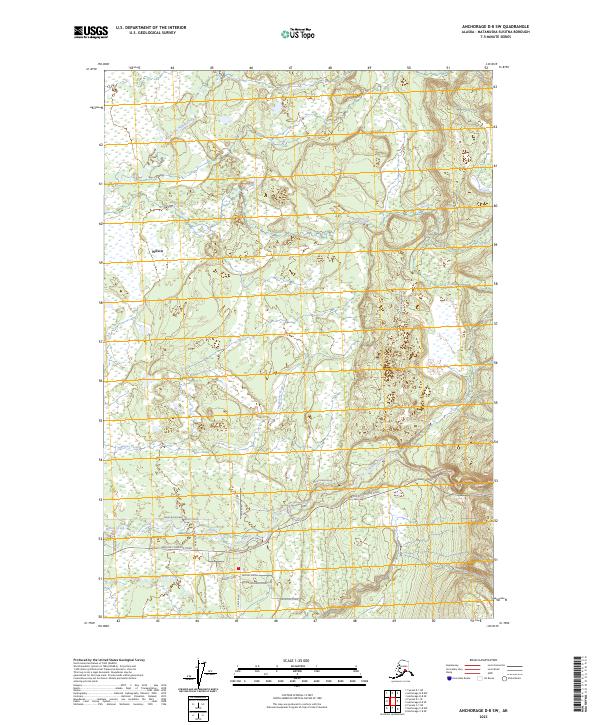
2023 Map of Anchorage D-8 SW
USGS Topo · Published 2023About this map
The settlement of Willow serves as the primary focal point in this portion of the Matanuska-Susitna Borough, where the landscape is defined by an intricate network of waterways and a developing grid of local roads. The drainage pattern of Little Willow Creek and Willow Creek dominates the terrain, illustrating the hydraulic character of the Susitna Valley. South of the main settlement, a dense concentration of residential and connector roads such as Kenny Boulevard, Michelle Drive, and Shirley Towne Drive reveals the modern expansion of this Alaskan community.
Find a feature on this map
31 named features on this map. Tap any name to fly to it.
Don’t see what you’re looking for? This feature index may not catch every label — zoom into the map to look around manually.
Map Details
Editions of this 2023 Anchorage D-8 SW Map
This is the sole edition of this map. No revisions or reprints were ever made.
Other maps of this area

1949 · Tyonek
USGS Topo · 1:250,000

1949 · Anchorage D-8
USGS Topo · 1:63,360

1950 · Anchorage C-8
USGS Topo · 1:63,360

1951 · Anchorage
USGS Topo · 1:250,000

1951 · Tyonek
USGS Topo · 1:250,000

1951 · Anchorage D-8
USGS Topo · 1:63,360

1952 · Anchorage C-8
USGS Topo · 1:63,360

1952 · Tyonek D-1
USGS Topo · 1:63,360

1952 · Tyonek C-1
USGS Topo · 1:63,360

1952 · Anchorage D-8
USGS Topo · 1:63,360