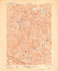
1948 Map of Ancram
USGS Topo · Published 1948About this map
Roeliff Jansen Kill winds through the southern landscape of this 1945 survey, marking a corridor of settlement and early industrial activity between Columbia and Dutchess counties. The geography is defined by a series of prominent peaks and water bodies, including Lake Taghkanic in the north and the jagged elevations of Green Hill and Signal Rock. Small hamlets and crossroads like Ancram, Gallatinville, and Jackson Corners are connected by a network of rural roads that follow the natural contours of the hills. The inclusion of sites such as Spaulding Furnace and Vedder Ch provides specific touchpoints for researchers tracing the religious and economic foundations of these communities. From the rural schoolhouses like Suydam Sch to the quiet waters of Pond Lily Pond, the map records a mid-century Hudson Valley landscape before modern development altered the character of its small townships.
Find a feature on this map
29 named features on this map. Tap any name to fly to it.
Don’t see what you’re looking for? This feature index may not catch every label — zoom into the map to look around manually.
Map Details
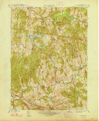
Editions of this 1948 Ancram Map
2 editions found
Other maps of this area

1895 · Catskill
USGS Topo · 1:62,500

1898 · Rhinebeck
USGS Topo · 1:62,500

1899 · Millbrook
USGS Topo · 1:62,500

1902 · Millbrook
USGS Topo · 1:62,500

1902 · Copake
USGS Topo · 1:62,500

1904 · Copake
USGS Topo · 1:62,500

1934 · Rhinebeck
USGS Topo · 1:48,000

1934 · Catskill
USGS Topo · 1:62,500

1938 · Catskill
USGS Topo · 1:62,500

1939 · Rhinebeck
USGS Topo · 1:62,500