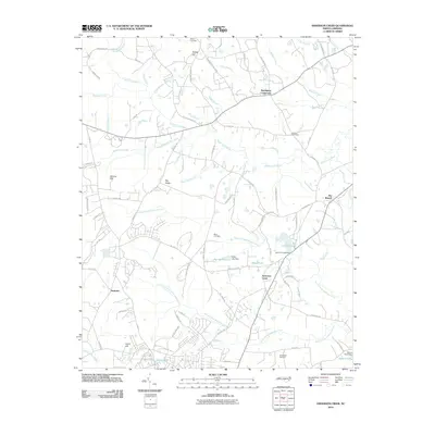
2010 Map of Anderson Creek
USGS Topo · Published 2010About this map
Spring Hill and Norrington Crossroads anchor this landscape where the Upper Little River and its numerous tributaries, such as Rooty Branch and Reedy Branch, carve through Harnett County. The map documents a rural community characterized by dispersed settlements like Hairtown and Flat Branch, alongside significant family and community landmarks. Genealogists will find notable value in the various burial sites including Old Bethel Cemetery, Black Cemetery, and Darroch Cemetery, which are often situated near historic congregations like Mount Olive Church.
Find a feature on this map
89 named features on this map. Tap any name to fly to it.
Don’t see what you’re looking for? This feature index may not catch every label — zoom into the map to look around manually.
Map Details
Editions of this 2010 Anderson Creek Map
This is the sole edition of this map. No revisions or reprints were ever made.
Other maps of this area

1948 · Fayetteville
USGS Topo · 1:62,500

1948 · Clifdale
USGS Topo · 1:62,500

1948 · Slocomb
USGS Topo · 1:24,000

1950 · Manchester
USGS Topo · 1:24,000

1950 · Slocomb
USGS Topo · 1:24,000

1951 · Clifdale
USGS Topo · 1:62,500

1953 · Raleigh
USGS Topo · 1:250,000

1954 · Raleigh
USGS Topo · 1:250,000

1956 · Anderson Creek
USGS Topo · 1:24,000

1956 · Bunnlevel
USGS Topo · 1:24,000