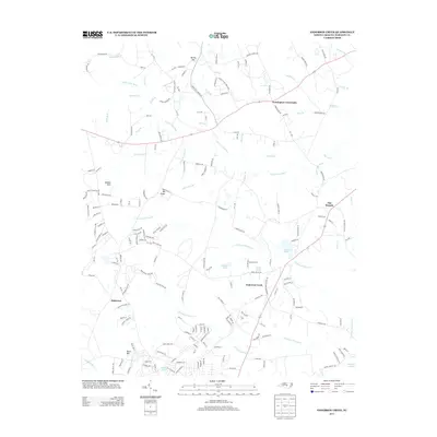
2013 Map of Anderson Creek
USGS Topo · Published 2013About this map
Upper Little River meanders across the northern reaches of this Harnett County landscape, carving through a region defined by scattered residential clusters and traditional rural crossroads. Significant local hubs like Norrington Crossroads and Anderson Creek anchor the road network, while smaller named settlements including Hairtown, Hams Hill, and Albama Hills offer specific coordinates for genealogical research. The terrain is marked by prominent elevations such as Big Ridge and a dense network of water bodies, including Cambro Pond, Youngs Pond, and Kellys Pond.
Find a feature on this map
191 named features on this map. Tap any name to fly to it.
Don’t see what you’re looking for? This feature index may not catch every label — zoom into the map to look around manually.
Map Details
Editions of this 2013 Anderson Creek Map
This is the sole edition of this map. No revisions or reprints were ever made.
Other maps of this area

1948 · Fayetteville
USGS Topo · 1:62,500

1948 · Clifdale
USGS Topo · 1:62,500

1948 · Slocomb
USGS Topo · 1:24,000

1950 · Manchester
USGS Topo · 1:24,000

1950 · Slocomb
USGS Topo · 1:24,000

1951 · Clifdale
USGS Topo · 1:62,500

1953 · Raleigh
USGS Topo · 1:250,000

1954 · Raleigh
USGS Topo · 1:250,000

1956 · Anderson Creek
USGS Topo · 1:24,000

1956 · Bunnlevel
USGS Topo · 1:24,000