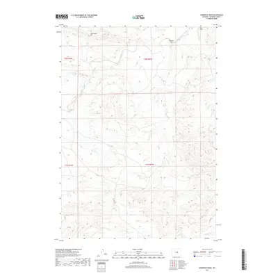
2017 Map of Anderson Draw
USGS Topo · Published 2017About this map
S Fork Powder River carves a winding path through this central Wyoming landscape, where the high drainage divide of the Cottonwood Rim defines the northern horizon. This portion of Natrona County is characterized by a complex network of seasonal watercourses and topographic depressions, including the prominent Anderson Draw and Ellis Draw to the northeast. Human presence is sparse, marked primarily by the utility of the high ground, with Divide Rd following the southern ridgeline above the headwaters of N Fork Casper Cr. The map illustrates a transitional drainage area where tributaries like Cottonwood Cr and Indian Cr begin their descent toward the larger river basins, revealing the underlying structural geology through intricate contouring of the high plains terrain.
Find a feature on this map
12 named features on this map. Tap any name to fly to it.
Don’t see what you’re looking for? This feature index may not catch every label — zoom into the map to look around manually.
Map Details
Editions of this 2017 Anderson Draw Map
This is the sole edition of this map. No revisions or reprints were ever made.
Other maps of this area

1955 · Arminto
USGS Topo · 1:250,000

1958 · Arminto
USGS Topo · 1:250,000

1962 · Arminto
USGS Topo · 1:250,000

1968 · Reynolds Reservoir
USGS Topo · 1:24,000

1968 · Big Sulfur Draw
USGS Topo · 1:24,000

1968 · Fiftymile Flat
USGS Topo · 1:24,000
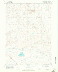
1968 · Burlington Lake
USGS Topo · 1:24,000
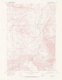
1968 · Anderson Draw
USGS Topo · 1:24,000
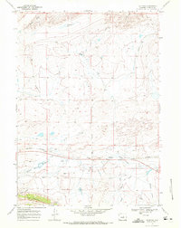
1968 · Natrona
USGS Topo · 1:24,000

1968 · Flat Top Hill
USGS Topo · 1:24,000