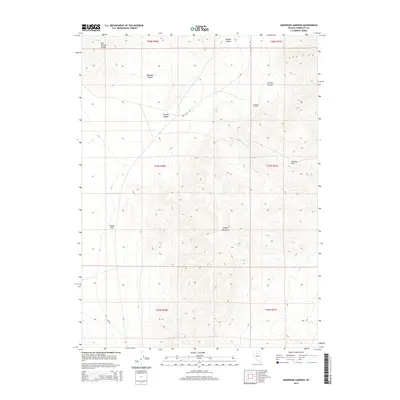
2015 Map of Anderson Gardens
USGS Topo · Published 2015About this map
Anderson Gardens sits at the intersection of high desert basins and prominent ridgelines in this mid-2010s survey of Humboldt County. The landscape is defined by the massive Osgood Mountains to the south and the Hot Springs Range clipping the northwest corner, creating a complex network of drainage systems. Key water sources and landmarks like Soldier Spring and Soldiers Pass suggest the historical importance of transit through this terrain, where narrow passages provided the only reliable routes through the mountains.
Find a feature on this map
17 named features on this map. Tap any name to fly to it.
Don’t see what you’re looking for? This feature index may not catch every label — zoom into the map to look around manually.
Map Details
Editions of this 2015 Anderson Gardens Map
This is the sole edition of this map. No revisions or reprints were ever made.
Other maps of this area

1882 · Paradise
USGS Topo · 1:250,000

1893 · Paradise
USGS Topo · 1:250,000

1932 · Sonoma Range
USGS Topo · 1:250,000

1939 · Sonoma Range
USGS Topo · 1:250,000

1945 · Osgood Mountains
USGS Topo · 1:62,500

1947 · Osgood Mountains
USGS Topo · 1:62,500

1955 · McDermitt
USGS Topo · 1:250,000

1955 · Winnemucca
USGS Topo · 1:250,000

1958 · Winnemucca
USGS Topo · 1:250,000

1958 · Winnemucca
USGS Topo · 1:62,500