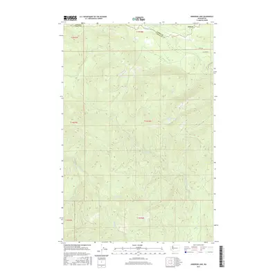
2017 Map of Anderson Lake
USGS Topo · Published 2017About this map
Ashford sits along the northern edge of this terrain where the Nisqually River separates Pierce Co and Lewis Co. This landscape is defined by its complex drainage network, flowing from the high elevations surrounding Anderson Lake toward the river valley. The presence of the National Mill Pond near the river suggests the area's long-standing connection to the timber industry, a common economic driver in this part of Washington.
Find a feature on this map
23 named features on this map. Tap any name to fly to it.
Don’t see what you’re looking for? This feature index may not catch every label — zoom into the map to look around manually.
Map Details
Editions of this 2017 Anderson Lake Map
This is the sole edition of this map. No revisions or reprints were ever made.
Other maps of this area

1924 · Mt Rainier
USGS Topo · 1:96,000

1928 · Mt Rainier
USGS Topo · 1:125,000

1937 · Eatonville
USGS Topo · 1:125,000

1950 · Yakima
USGS Topo · 1:250,000

1953 · Hoquiam
USGS Topo · 1:250,000

1956 · Mineral
USGS Topo · 1:62,500

1956 · Kapowsin
USGS Topo · 1:62,500

1957 · Hoquiam
USGS Topo · 1:250,000

1958 · Yakima
USGS Topo · 1:250,000

1958 · Hoquiam
USGS Topo · 1:250,000