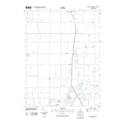
2010 Map of Anderson North
USGS Topo · Published 2010About this map
North Anderson and the residential community of Forest Hills anchor the southern edge of this Madison County landscape, showing the suburban expansion north of the city center in the early 21st century. The map reveals a transition from these organized residential grids to the broader agricultural lands and small settlements of Florida, Prosperity, and Linwood. The area is bisected by numerous small waterways, such as Killbuck Creek and Pipe Creek, which drain the relatively level terrain.
Find a feature on this map
56 named features on this map. Tap any name to fly to it.
Don’t see what you’re looking for? This feature index may not catch every label — zoom into the map to look around manually.
Map Details
Editions of this 2010 Anderson North Map
This is the sole edition of this map. No revisions or reprints were ever made.
Other maps of this area

1952 · Anderson
USGS Topo · 1:24,000

1953 · Lapel
USGS Topo · 1:24,000

1953 · Muncie
USGS Topo · 1:250,000

1956 · Muncie
USGS Topo · 1:250,000

1960 · Gilman
USGS Topo · 1:24,000

1960 · Elwood
USGS Topo · 1:24,000

1960 · Middletown
USGS Topo · 1:24,000

1960 · Alexandria
USGS Topo · 1:24,000

1960 · Gaston
USGS Topo · 1:24,000

1960 · Anderson North
USGS Topo · 1:24,000