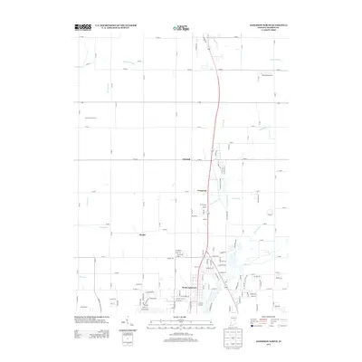
2013 Map of Anderson North
USGS Topo · Published 2013About this map
North Anderson serves as the southern anchor of this Madison County landscape, where the urban edge of the city gives way to a network of smaller rural communities and agricultural tracts. Moving northward, the settlement patterns follow historic routes through Prosperity, Linwood, and Florida, each situated near the winding waterways that define the local drainage. The presence of the Old Canal near Little Killbuck Cr points to early nineteenth-century infrastructure efforts that once sought to connect these central Indiana plains to wider markets. The land is heavily partitioned by a grid of county roads such as W 1000 N and N 400 W, which navigate around a dense system of small streams including Florida Brook, Andy Run, and Plummer Brook. This geography illustrates the transition from organized town plats to established family-named holdings like Shuter Sunset Farms.
Find a feature on this map
137 named features on this map. Tap any name to fly to it.
Don’t see what you’re looking for? This feature index may not catch every label — zoom into the map to look around manually.
Map Details
Editions of this 2013 Anderson North Map
This is the sole edition of this map. No revisions or reprints were ever made.
Other maps of this area

1952 · Anderson
USGS Topo · 1:24,000

1953 · Lapel
USGS Topo · 1:24,000

1953 · Muncie
USGS Topo · 1:250,000

1956 · Muncie
USGS Topo · 1:250,000

1960 · Gilman
USGS Topo · 1:24,000

1960 · Elwood
USGS Topo · 1:24,000

1960 · Middletown
USGS Topo · 1:24,000

1960 · Alexandria
USGS Topo · 1:24,000

1960 · Gaston
USGS Topo · 1:24,000

1960 · Anderson North
USGS Topo · 1:24,000