Loading...
Loading map...2024 Map of Andersonville
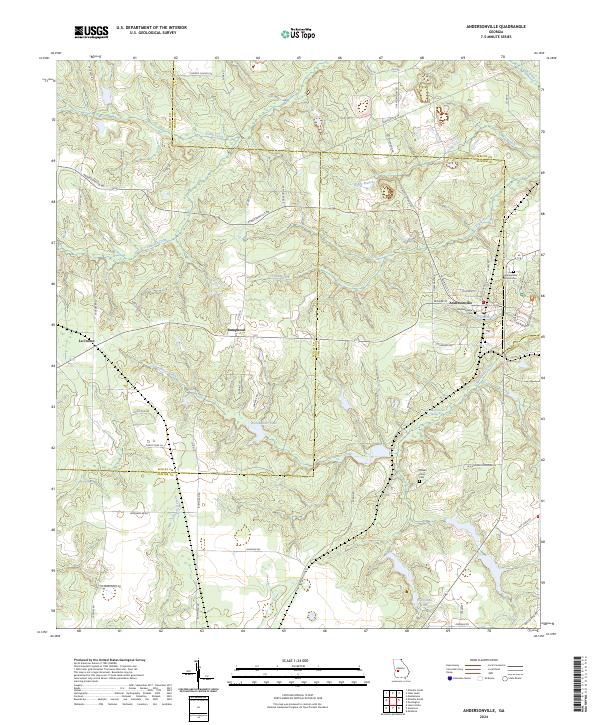
USGS Topo · Published 2024About this map
The Andersonville National Historic Site dominates the eastern landscape of this Sumter County region, encompassing the grounds of the notorious Civil War-era prison. The map details the site's layout including the Andersonville National Cem and the small drainage of Prison Branch that once served the stockade. Just west of the historic grounds, the town of Andersonville is situated along a network of local roads including N Oglethorpe St and S Freeman Ave.
Find a feature on this map
53 named features on this map. Tap any name to fly to it.
Don’t see what you’re looking for? This feature index may not catch every label — zoom into the map to look around manually.
Map Details
Date Portrayed2024
Date Published2024
PublisherU.S. Geological Survey
Map TypeTopographic
Scale1:24000
Physical Dimensions24 x 29 inches
Editions of this 2024 Andersonville Map
This is the sole edition of this map. No revisions or reprints were ever made.
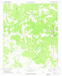
Historical Maps of Andersonville Through Time
Featured Locations
Source Details
SourceU.S. Geological Survey
CopyrightPublic Domain