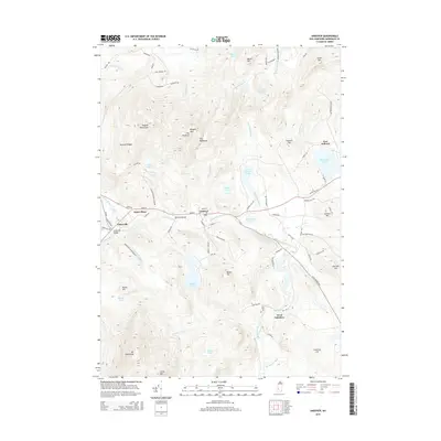
2015 Map of Andover
USGS Topo · Published 2015About this map
Andover and the historic village of Potter Place serve as central points along the Blackwater River corridor in this 2015 study. The landscape is defined by the significant rise of Mt Kearsarge in the southwest and the Ragged Mountains to the north, providing a clear picture of the narrow valley floor where most settlement and transportation infrastructure is concentrated. Local heritage sites like Keniston Bridge and the Cilleyville Bridge span the local waterways, connecting smaller hamlets like Cilleyville and East Andover.
Find a feature on this map
90 named features on this map. Tap any name to fly to it.
Don’t see what you’re looking for? This feature index may not catch every label — zoom into the map to look around manually.
Map Details
Editions of this 2015 Andover Map
This is the sole edition of this map. No revisions or reprints were ever made.
Other maps of this area

1925 · Holderness
USGS Topo · 1:62,500

1927 · Penacook
USGS Topo · 1:62,500

1927 · Holderness
USGS Topo · 1:62,500

1927 · Cardigan
USGS Topo · 1:62,500

1928 · Mount Kearsarge
USGS Topo · 1:62,500

1930 · Cardigan
USGS Topo · 1:62,500

1931 · Mount Kearsarge
USGS Topo · 1:62,500

1949 · Portland
USGS Topo · 1:250,000

1956 · Cardigan
USGS Topo · 1:62,500

1956 · Penacook
USGS Topo · 1:62,500