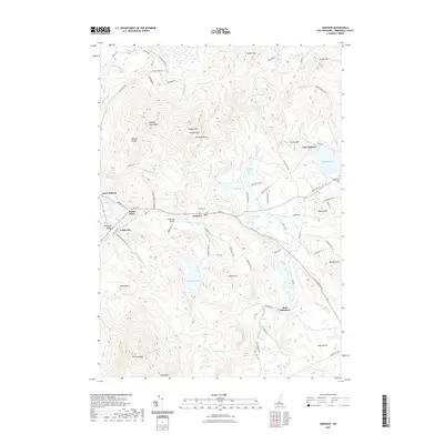
2021 Map of Andover
USGS Topo · Published 2021About this map
The Blackwater River valley serves as the primary corridor for settlement and transportation in this region, connecting the historic villages of Potter Place, Cilleyville, and Andover. This modern survey highlights the enduring layout of these New Hampshire communities, where historic infrastructure like the Cilleyville Bridge and Keniston Bridge remains documented alongside newer residential developments. The terrain is defined by significant elevations, including the northern slopes of Mt Kearsarge and the prominent Ragged Mountains to the north.
Find a feature on this map
87 named features on this map. Tap any name to fly to it.
Don’t see what you’re looking for? This feature index may not catch every label — zoom into the map to look around manually.
Map Details
Editions of this 2021 Andover Map
This is the sole edition of this map. No revisions or reprints were ever made.
Other maps of this area

1925 · Holderness
USGS Topo · 1:62,500

1927 · Penacook
USGS Topo · 1:62,500

1927 · Holderness
USGS Topo · 1:62,500

1927 · Cardigan
USGS Topo · 1:62,500

1928 · Mount Kearsarge
USGS Topo · 1:62,500

1930 · Cardigan
USGS Topo · 1:62,500

1931 · Mount Kearsarge
USGS Topo · 1:62,500

1949 · Portland
USGS Topo · 1:250,000

1956 · Cardigan
USGS Topo · 1:62,500

1956 · Penacook
USGS Topo · 1:62,500