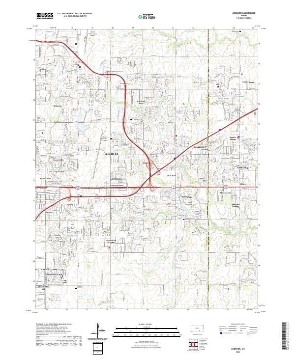
2022 Map of Andover
USGS Topo · Published 2022About this map
Wichita expands eastward in this detailed survey, where suburban residential developments meet an established aviation-industrial corridor. The area is defined by its significant aviation infrastructure, including the Beech Factory Airport and the nearby Cessna Aircraft Field, alongside the Colonel James Jabara Airport in the northern reaches. These sites sit adjacent to dozens of organized subdivisions such as Lakeside Acres, Linwood Acres, and Greenwich Heights, showing the dense infill between the urban center and the city of Andover.
Find a feature on this map
83 named features on this map. Tap any name to fly to it.
Don’t see what you’re looking for? This feature index may not catch every label — zoom into the map to look around manually.
Map Details
Editions of this 2022 Andover Map
This is the sole edition of this map. No revisions or reprints were ever made.
Other maps of this area

1889 · Wichita
USGS Topo · 1:125,000

1894 · Wichita
USGS Topo · 1:125,000

1941 · Valley Center
USGS Topo · 1:31,680

1942 · Valley Center
USGS Topo · 1:31,680

1943 · Wichita East
USGS Topo · 1:31,680

1943 · Derby
USGS Topo · 1:31,680

1945 · Andover
USGS Topo · 1:31,680

1955 · Santa Fe Lake
USGS Topo · 1:24,000

1955 · Benton
USGS Topo · 1:24,000

1955 · Greenwich
USGS Topo · 1:24,000