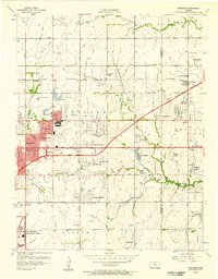
1945 Map of Andover
USGS Topo · Published 1945About this map
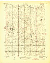
Andover serves as a primary rail hub along the St Louis San Francisco line during the mid-1940s, marking the border between Sedgwick and Butler Counties. This survey reveals a landscape of transition, where small planned residential developments like Forest Hills and Linwood Acres begin to emerge alongside more traditional agrarian layouts. The sheer density of rural educational buildings, including Fidelity Sch, Minneha Sch, and Mammoth Cave Sch, indicates a well-established network of district schoolhouses that served the local farming families before the consolidation era. Toward the southeast, the economy shows signs of industrial activity with the presence of Oil Wells and Oil Tanks near the Seltzer Ch. The terrain is defined by the drainage of Gypsum Creek, Fourmile Creek, and Spring Creek, which navigate the gentle slopes of the Kansas prairie.
Find a feature on this map
29 named features on this map. Tap any name to fly to it.
Don’t see what you’re looking for? This feature index may not catch every label — zoom into the map to look around manually.
Map Details
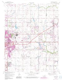
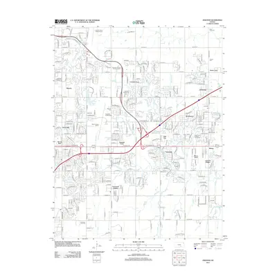
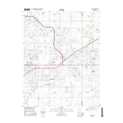
Editions of this 1945 Andover Map
2 editions found
Historical Maps of Wichita Through Time
8 maps found