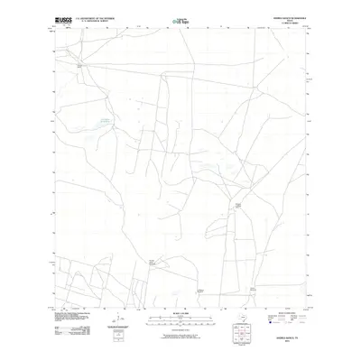
2010 Map of Andrea Ranch
USGS Topo · Published 2010About this map
Andrea Ranch serves as the namesake landmark for this expansive ranchland landscape in South Texas. The area is defined by its agricultural infrastructure, where scattered watering points like Puertas Verde Windmill, La Melona Windmill, and Copita Windmill provide essential resources across the arid terrain. A network of unimproved roads and tracks crisscrosses the map, suggesting the functional movement of livestock and ranch operations during the early 21st century.
Find a feature on this map
6 named features on this map. Tap any name to fly to it.
Don’t see what you’re looking for? This feature index may not catch every label — zoom into the map to look around manually.
Map Details
Editions of this 2010 Andrea Ranch Map
This is the sole edition of this map. No revisions or reprints were ever made.
Other maps of this area

1922 · La Sal Vieja
USGS Topo · 1:62,500

1923 · Armstrong
USGS Topo · 1:62,500

1939 · Linn
USGS Topo · 1:62,500

1949 · Mc Allen
USGS Topo · 1:250,000

1953 · Brownsville
USGS Topo · 1:250,000

1954 · McAllen
USGS Topo · 1:250,000

1956 · Julian
USGS Topo · 1:24,000

1956 · Rudolph
USGS Topo · 1:24,000

1956 · Andrea Ranch
USGS Topo · 1:24,000

1956 · La Sal Vieja
USGS Topo · 1:24,000